Erosional Structures
Capture the force of moving ice, meltwater, and sediment as they reshape the landscape; leaving behind grooves, scours, and striations that trace the direction and energy of past flows.
Erosional Structures: Traces of Flow and Force
Erosional structures form where sediment or bedrock is worn away by moving ice, flowing meltwater, or sediment-laden gravity flows. These features capture the direction, intensity, and dynamics of transport; recording the interaction between substrate and erosive agents.
In glacial environments, erosional features can develop beneath or in front of ice masses, often shaped by basal drag, pressurized meltwater, or ice-rafted debris. These structures include striations, grooves, crescentic gouges, and P-forms, each offering clues about ice flow direction, bed conditions, and subglacial hydrology.
In mass transport systems, erosion at flow bases can create scour marks, sole structures, or channelized features that precede or accompany sediment deposition.
This section highlights the variety of erosional forms preserved in glacial and slope-influenced settings; helping to reconstruct flow paths, stress regimes, and the physical processes that shaped the landscape.

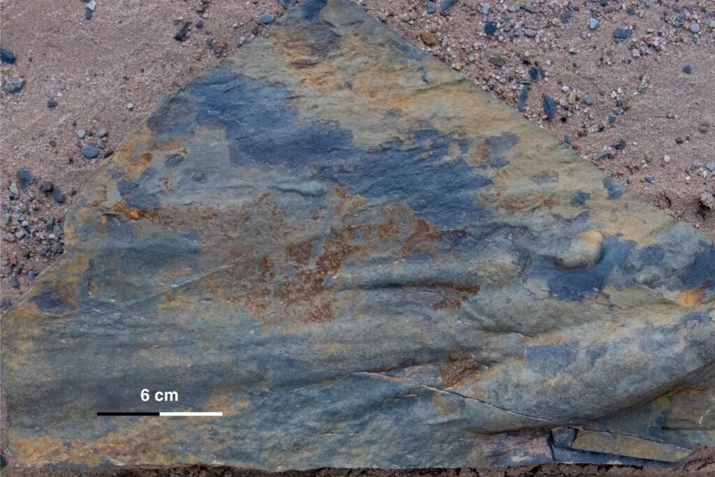
Bounce and Tool Marks
Description:
-Small scale, linear to arcuate impressions or grooves preserved on the surface of a bedding plane
-Bounce marks appear as shallow pits or dimples, often in rhythmic spacing, caused by sediment or clasts skipping along the substrate
-Tool marks include grooves, prod marks, and drag marks left by clasts or debris scraping along a soft substrate
Interpretation:
-Formed by objects transported within a current, striking or dragging across a soft, water-saturated bed
-Bounce marks reflect intermittent contact from saltating particles; tool marks result from tractional movement along the bed
-Require cohesive but soft substrates capable of preserving fine impressions at the time of impact
Significance:
-Indicate the presence of flowing water or turbidity currents during or shortly after deposition
-Groove and tool orientations can be used to infer paleoflow direction
-Common in glaciofluvial, subaqueous mass flow, and delta-front environments, especially where coarse clasts overlie fine-grained beds
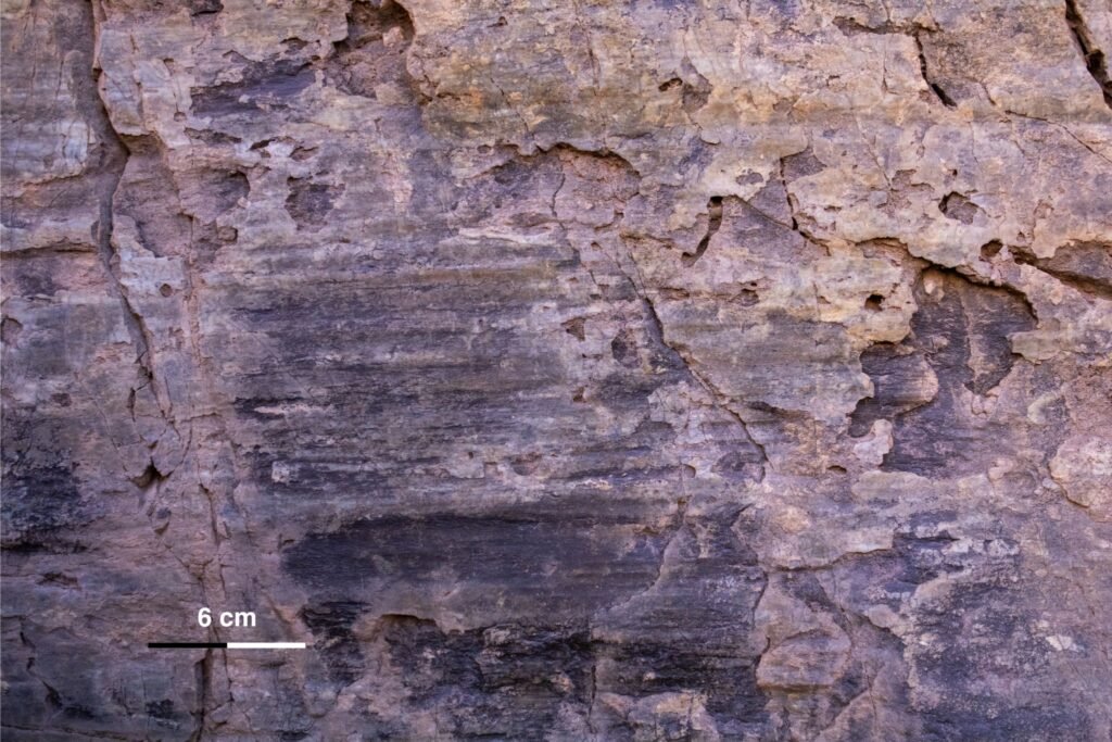
Slickenlines
Description:
-Fine, linear striations or grooves on a fracture, fault, or shear surface
-Typically aligned in one dominant direction, often with a polished or shiny appearance
-May be accompanied by steps, fiber growth, or mineral alignment, which can indicate movement direction
Interpretation:
-Formed by frictional movement between sediment layers or blocks during deformation
-Slickenlines record the direction of slip or shear, often under low confining pressure in unconsolidated or semi-consolidated sediment
-May form in subglacial tills, glaciotectonites, slump zones, or internally sheared debris flows
Significance:
-Provide direct evidence of relative movement across a surface
-Useful for reconstructing kinematics of deformation, including slip direction and sometimes sense of motion (when steps or mineral fibers are present)
-Help differentiate brittle shear surfaces from ductile deformation zones in soft-sediment environments

